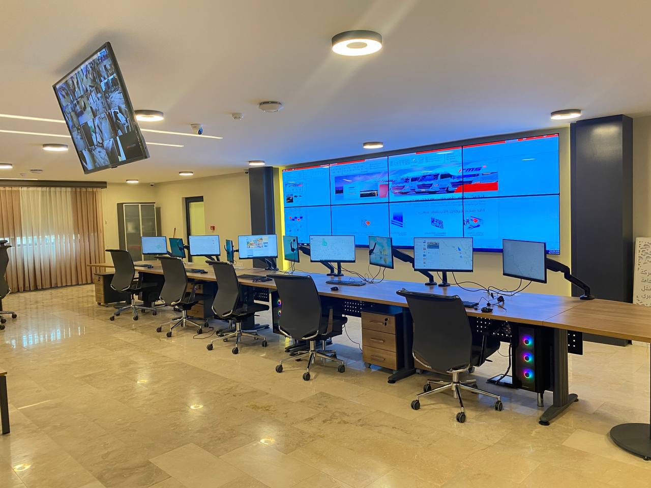
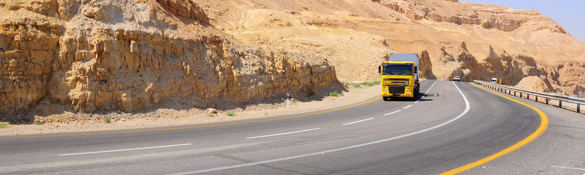
Real-Time Tracking
Get complete visibility on the entire
trip, monitor and track the entire
transportation with transparency

The name "URUK" was inspired by the city of "URUK" as The historical city of the Sumerian and Babylonian civilization. One of the first civilization centers in the world that appeared about 4000 years BC. Witnessed the invention of writing and the emergence of the first letter. An important economic crossing linking the East with the West and the North with the South.


IRU drives the sustainable mobility of people and goods across the planet, advocating for policies that enhance the safety, efficiency and sustainability of operations, including supporting its members in implementing the TIR global transit system. In line with IRU’s objectives, URUK is designed as a technological system with advanced infrastructure to support the Iraqi government in organizing transit operations. From the moment a truck is loaded to its final delivery, URUK ensures meticulous tracking and management. URUK is more than just a tool; it provides integrated, efficient and secure governance for both cross-border and domestic transportation, strengthening Iraq's strategic position on the global land trade map. IRU offers its members access to a global network of information, representation at regional and global levels, and modern technologies. With IRU and URUK, Iraq can unlock its full potential as a regional trade and transit hub, connecting East to West and North to South, driving prosperity and economic development.

Using the ITMS you can overcome lots of transport management challenges. In the past, inability to confirm freight safety led to the freight loss, damage or vehicle could simply be raided. Here’s the quick summary of the ITMS activity. All rides were accomplished under high safety rate and using the least resources
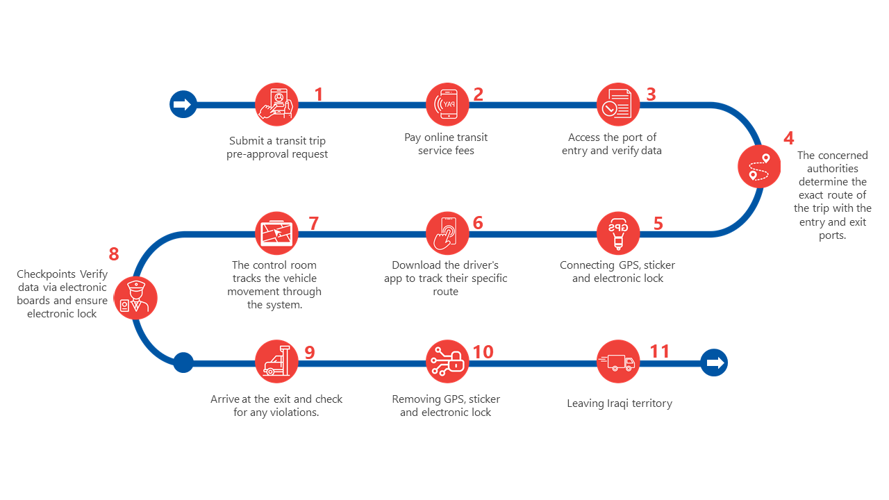
The steps of transportation processes that pass inside Iraq through URUK / IRU


Iraq is set to reap the benefits of the global TIR transit system when it goes live next week in...

The Iraqi Ministry of Transport announced today, Sunday, that Iraq received the first experimental flight in coordination with the International...

The Ministry of Transport has established special controls for mobile taxi companies in the country by granting them licenses and...
URUK is the historical city of the Sumerian and Babylonian civilizations and is one of the first civilizational centers in the world that appeared about 4000 BC, where writing was invented and the first letter appeared in the world. The Epic of Gilgamesh also appeared in this city.
The city, which is 35 km away from the city of Nasiriyah, was an important economic crossing point linking the east with the west and the north with the south.
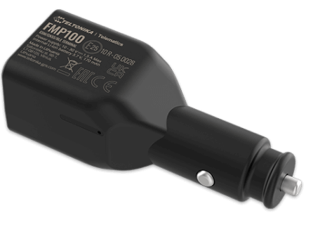
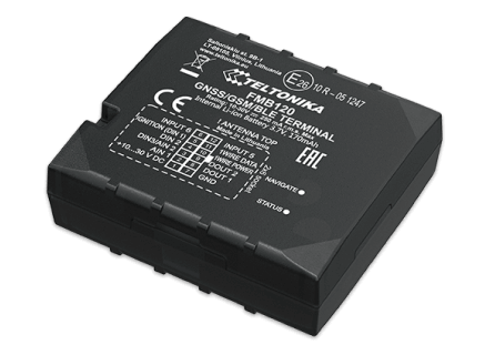
Inspired by the name of this ancient city, our company has established an electronic platform to organize transportation operations in Iraq, called “URUK” aimed at electronic tracking of containers, inspecting their contents, equipping vehicles with stickers, e-lock, and following up on the course and lines of trips for carriages and vehicles.
This vital platform will enhance the economic and security situation of the country, as it will be easy to control the movement of commercial transport in Iraq and eliminate one of the aspects of financial and administrative corruption.
We will answer you as soon as our managers are free.